Cyvl
Smarter Infrastructure, Faster
What is Cyvl? Complete Overview
Cyvl's Infrastructure Intelligence Platform is trusted by cities and towns across the US to manage and optimize infrastructure. The platform helps pinpoint road and sidewalk repairs, ensure ADA compliance, map signs, bike lanes, and tree canopy, and unlock federal funding faster. By creating a living digital twin of a community’s infrastructure, Cyvl enables smarter, faster, and more cost-effective decisions. The platform is 12 times faster than traditional manual methods and has optimized $10 billion in taxpayer dollars through better decision-making. Cyvl is used to manage roads for 30 million Americans, making it a critical tool for municipalities and infrastructure professionals.
Cyvl Interface & Screenshots
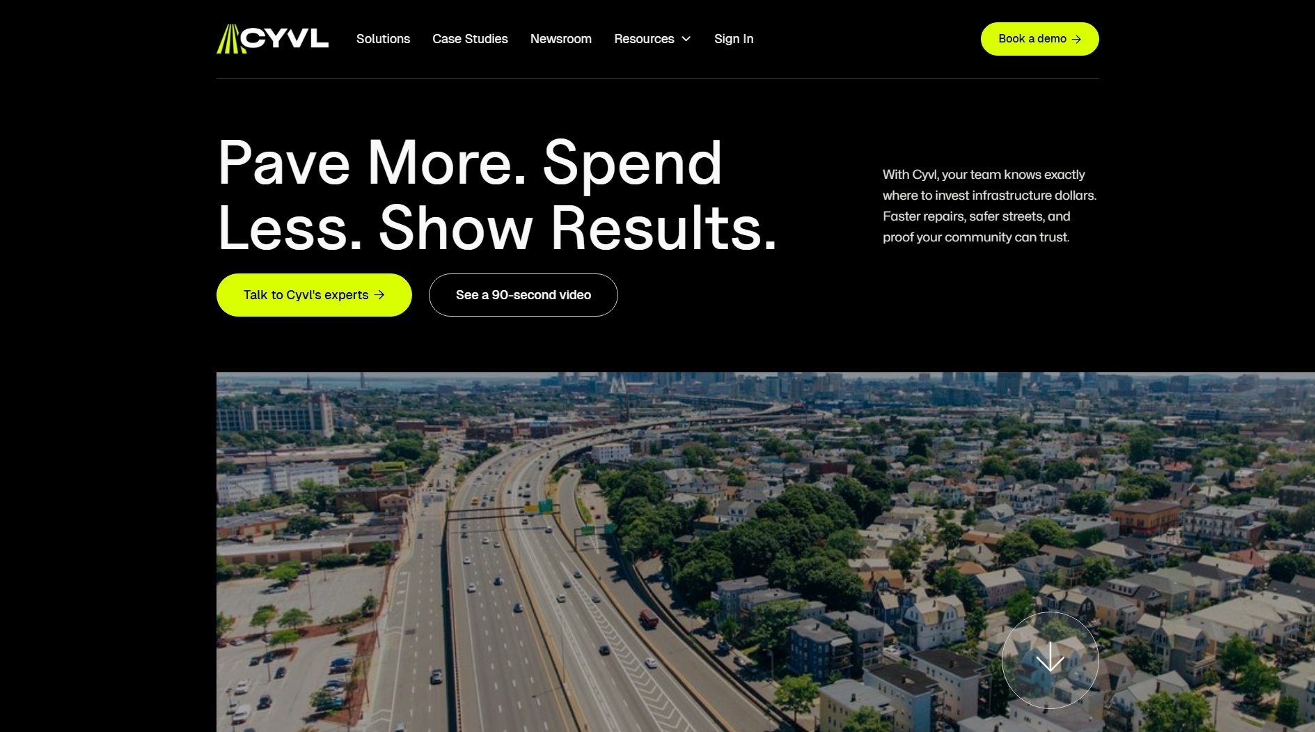
Cyvl Official screenshot of the tool interface
What Can Cyvl Do? Key Features
Infrastructure Intelligence Platform
Cyvl's platform provides a comprehensive solution for managing and optimizing community infrastructure. It offers real-time data and analytics to help municipalities make informed decisions about repairs, compliance, and funding.
Road and Sidewalk Repair Pinpointing
The platform accurately identifies areas in need of repair, reducing the time and cost associated with manual inspections. This feature ensures that maintenance efforts are targeted and efficient.
ADA Compliance Assurance
Cyvl helps municipalities ensure that their infrastructure meets ADA compliance standards, avoiding costly penalties and improving accessibility for all residents.
Infrastructure Mapping
The platform maps signs, bike lanes, and tree canopy, providing a detailed overview of community infrastructure. This feature aids in planning and maintenance efforts.
Federal Funding Unlock
Cyvl accelerates the process of securing federal funding by providing the necessary data and documentation. This feature helps municipalities access critical resources faster.
Living Digital Twin
The platform creates a dynamic, up-to-date digital representation of a community’s infrastructure. This feature enables continuous monitoring and optimization of infrastructure assets.
Best Cyvl Use Cases & Applications
Municipal Road Maintenance
A city uses Cyvl to identify and prioritize road repairs, reducing costs and improving road conditions for residents.
ADA Compliance for Sidewalks
A town leverages Cyvl to ensure all sidewalks meet ADA standards, enhancing accessibility and avoiding legal penalties.
Federal Funding Application
A municipality uses Cyvl's data and reports to quickly secure federal funding for infrastructure projects.
Bike Lane Planning
A city planner uses Cyvl's mapping tools to design and implement new bike lanes, improving community transportation options.
How to Use Cyvl: Step-by-Step Guide
Sign up for an account on the Cyvl platform through the provided link.
Upload or integrate existing infrastructure data to the platform.
Use the platform's tools to analyze and pinpoint areas needing repair or compliance updates.
Generate reports and documentation to support funding applications or maintenance plans.
Monitor and update the digital twin as new data becomes available to ensure ongoing optimization.
Cyvl Pros and Cons: Honest Review
Pros
Considerations
Is Cyvl Worth It? FAQ & Reviews
Cyvl is 12 times faster than traditional manual methods, providing accurate and real-time data for infrastructure management.
Cyvl can manage roads, sidewalks, signs, bike lanes, and tree canopy, among other infrastructure assets.
Yes, Cyvl is designed to scale and can be used by municipalities of all sizes, from small towns to large cities.
Cyvl provides the necessary data and documentation to streamline the federal funding application process, helping municipalities secure resources faster.
A digital twin is a dynamic, up-to-date digital representation of physical infrastructure, enabling continuous monitoring and optimization.
