GeoStats Game
Interactive World Bank Data Games & Geography Quizzes
What is GeoStats Game? Complete Overview
GeoStats Game is an innovative educational platform that transforms World Bank data into engaging interactive games and quizzes. Designed for students, educators, and global development enthusiasts, it offers 15+ game modes covering economic, social, environmental, and demographic indicators across 200+ countries. The platform combines real statistical data with cultural geography learning through various interactive formats including quizzes, map exploration, data visualization challenges, and daily cultural puzzles. All content is completely free to play and uses authentic World Bank Open Data for accurate learning experiences. The games are designed to make complex global development concepts accessible and engaging for all skill levels, from casual learners to advanced researchers.
GeoStats Game Interface & Screenshots
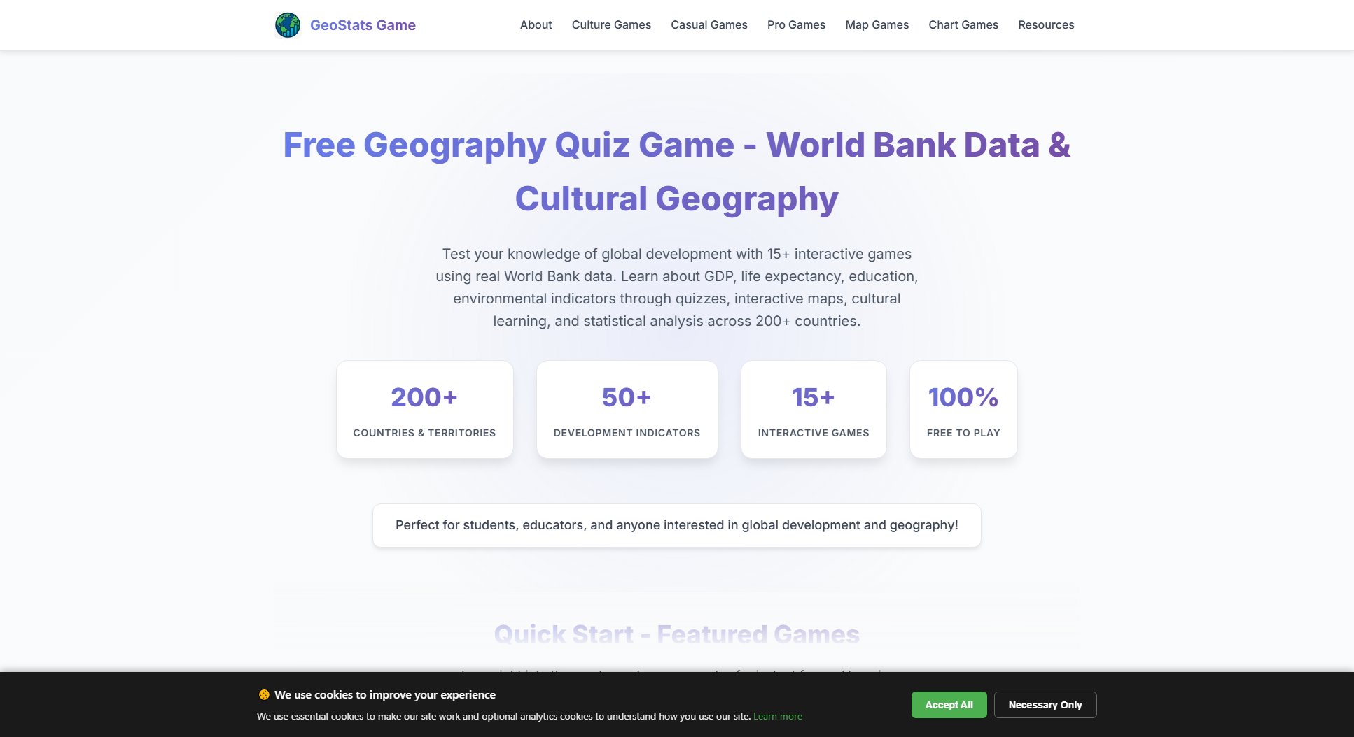
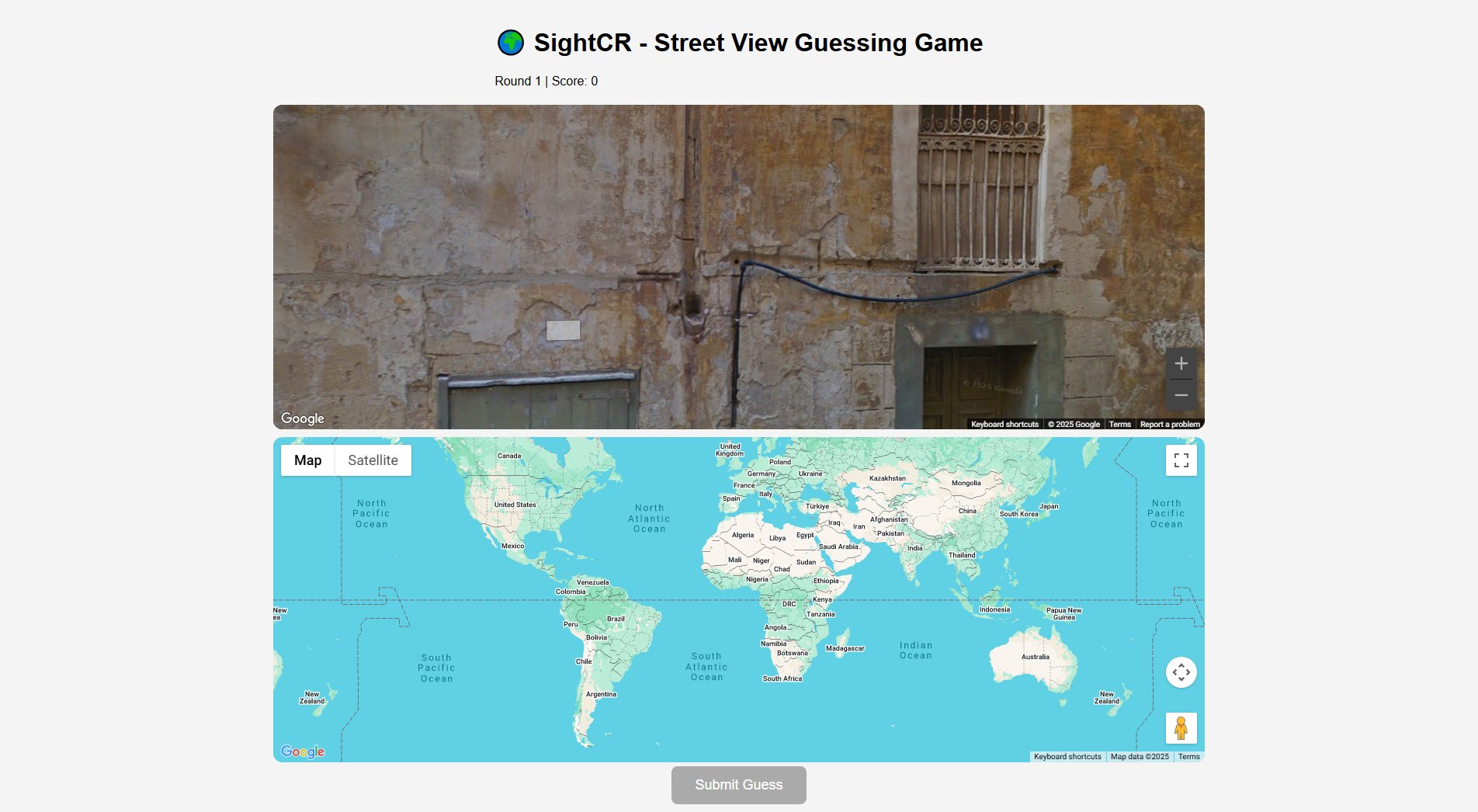
GeoStats Game Official screenshot of the tool interface
What Can GeoStats Game Do? Key Features
Real World Bank Data Integration
All games and quizzes use authentic, up-to-date statistics from the World Bank Open Data platform, covering 50+ development indicators across economic, social, environmental and demographic categories. This ensures players learn from accurate, meaningful data while making real-world connections.
Multiple Game Modes
GeoStats offers 5 distinct game mode categories: Casual Mode for quick learning, Pro Mode for comprehensive quizzes, Charts Mode for data visualization, Map Mode for interactive geography, and Culture Mode for daily cultural puzzles. Each mode provides unique learning approaches tailored to different preferences.
Cultural Geography Learning
Through innovative games like Tastele (Food Worldle) and Geomoji (Emoji Worldle), players explore world cultures while developing geographic knowledge. These daily challenges combine cultural learning with geographic education in addictive puzzle formats.
Interactive Data Visualization
Charts Mode features advanced statistical games using interactive visualizations like scatter plots, line charts and stacked bars. Players develop data interpretation skills by analyzing correlations, predicting trends, and identifying patterns in real World Bank time series data.
Adaptive Difficulty System
Pro Mode quizzes offer Easy, Medium and Hard difficulty levels that progressively challenge players with more complex indicators. The system helps learners gradually build comprehensive knowledge of global development patterns.
Global Leaderboards & Progress Tracking
Players can track their performance across all game modes, compete on global leaderboards, and monitor their improvement over time. The system records scores, streaks, and completion rates to motivate continuous learning.
Educational Resources
Topic-specific hubs provide curated games, articles and charts for focused learning in economics, geography and demographics. These resources help educators integrate the platform into classroom teaching effectively.
Best GeoStats Game Use Cases & Applications
Classroom Learning
Teachers can use GeoStats Game to make geography and economics lessons more engaging. The platform helps students understand complex development concepts through interactive games, with different modes suitable for various age groups and skill levels.
Self-Directed Study
Students and researchers can explore global development patterns at their own pace. The adaptive difficulty system and comprehensive topic hubs allow for personalized learning journeys in specific areas of interest.
Data Science Skill Development
The Charts Mode games help users develop statistical thinking and data interpretation skills through interactive visualizations of real World Bank time series data, valuable for aspiring data analysts and researchers.
Cultural Awareness Building
Through daily cultural games like Tastele and Geomoji, users can expand their knowledge of world cultures, traditions and cuisines while developing geographic literacy - valuable for travelers and globally-minded professionals.
Competitive Learning
The global leaderboards and progress tracking features allow users to challenge themselves and others, turning global development education into an engaging competition that motivates continuous improvement.
How to Use GeoStats Game: Step-by-Step Guide
Choose your preferred game mode based on your learning goals and skill level. Beginners should start with Casual Mode (Higher or Lower or Match the Flag), while advanced users might prefer Pro Mode quizzes or Charts Mode visualizations.
Select a specific game within your chosen mode. For first-time players, we recommend starting with 'Higher or Lower' in Casual Mode to learn basic comparison skills with familiar indicators like population and GDP.
Engage with the game interface. Most games present development indicators and require you to identify, compare or analyze countries based on the data. Follow the on-screen instructions specific to each game type.
Review feedback and learn from mistakes. After each question or round, the game provides detailed explanations about the correct answers and relevant statistics, helping you build knowledge progressively.
Track your progress through the built-in statistics system. Monitor your performance across different game modes and difficulty levels to identify areas for improvement and celebrate your learning achievements.
Explore additional features like daily challenges (Tastele, Geomoji), topic hubs, and social sharing options to enhance your learning experience and connect with other global development enthusiasts.
GeoStats Game Pros and Cons: Honest Review
Pros
Considerations
Is GeoStats Game Worth It? FAQ & Reviews
Yes, GeoStats Game is completely free with no hidden costs or premium features. We believe global development education should be accessible to everyone.
We regularly update our data from the World Bank Open Data platform to ensure the most current statistics while maintaining consistency across indicators.
Casual Mode offers simplified, pressure-free games for beginners, while Pro Mode provides comprehensive quizzes with multiple difficulty levels for deeper learning about global development indicators.
Absolutely! Many educators use GeoStats Game in geography, economics and social studies classes. The different modes suit various age groups and the platform makes complex concepts engaging.
Tastele (Food Worldle) and Geomoji (Emoji Worldle) are daily puzzles where you guess countries based on food or emoji clues. You get distance feedback (🟨 close, 🟧 far) and 6 attempts to solve each day's challenge.
Charts Mode helps build statistical thinking, pattern recognition and data interpretation skills through interactive visualizations of real World Bank time series data - valuable for data science learning.
The game covers 200+ countries and territories worldwide, providing comprehensive global representation for meaningful comparisons and learning opportunities.
