Wherobots
Spatial ETL, Analytics and GeoAI for the physical world
What is Wherobots? Complete Overview
Wherobots is a spatial intelligence cloud platform designed to handle large-scale spatial data processing, analytics, and AI applications. It is built by the original creators of Apache Sedona, providing unparalleled performance and scalability for geospatial data. Wherobots is ideal for data practitioners, engineers, and scientists who need to process and analyze spatial data efficiently. It supports various use cases, including planetary-scale analytics, GPS map matching, and AI-driven satellite imagery analysis. The platform is lakehouse-ready, compatible with AWS and Databricks Unity Catalog, and integrates seamlessly with tools like Apache Parquet, Apache Iceberg, and PyTorch.
Wherobots Interface & Screenshots
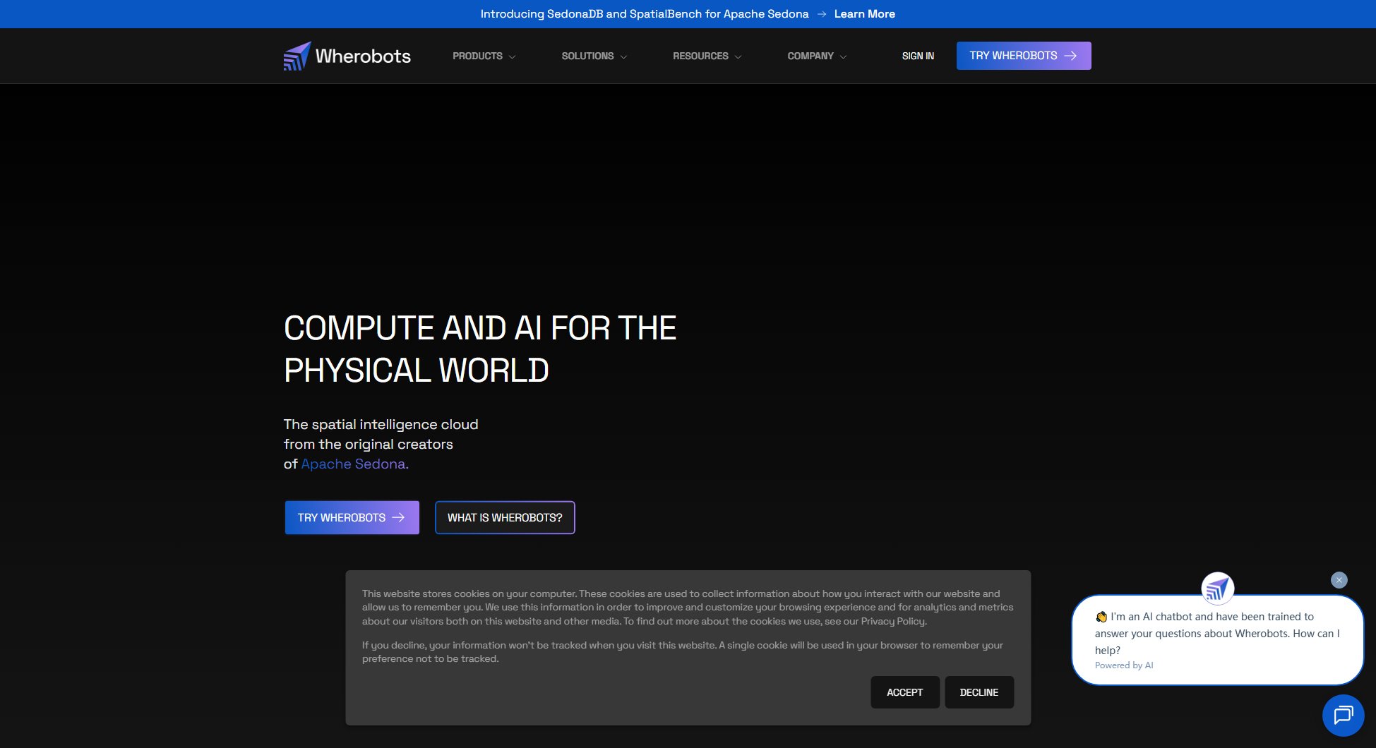
Wherobots Official screenshot of the tool interface
What Can Wherobots Do? Key Features
Planetary Scale Analytics
Perform spatial joins on millions of records for less than 50¢, enabling large-scale geospatial data processing at an affordable cost.
GPS Map Matching at Scale
Match GPS points to roads for millions of records without relying on external APIs, ensuring high accuracy and scalability.
AI for Satellite & Drone Imagery
Extract insights from imagery using pre-trained or custom AI models, with costs as low as $2.50 per analysis.
Lakehouse Ready
Seamlessly integrates with AWS and Databricks Unity Catalog, supporting Apache Iceberg for spatial data upserts, inserts, and transforms at any scale.
Fully Compatible with Apache Sedona
Lowers the cost of existing workflows with zero code changes, offering up to 20x better performance and unlimited scale.
SQL, Python, and Scala Ready
Build with the tools your team already knows, ensuring a smooth transition and quick adoption.
Best Wherobots Use Cases & Applications
Real Estate and Finance
Enhance location-based investment decisions by processing large-scale spatial data to identify trends and opportunities.
Ag-Tech and Climate Change
Drive sustainability initiatives by analyzing satellite imagery and geospatial data to monitor environmental changes.
Mobility and Automotive
Fuel innovation with GPS-scale data and automated spatial models for route optimization and fleet management.
How to Use Wherobots: Step-by-Step Guide
Sign up for a Wherobots account on their website or through AWS/Databricks integration.
Choose your plan (Community, Professional, or Enterprise) based on your data processing needs.
Upload your spatial data or connect to existing datasets in your lakehouse environment.
Use SQL, Python, or Scala to perform spatial joins, map matching, or AI-driven analysis on your data.
Visualize and export your results, or integrate them into your existing workflows.
Wherobots Pros and Cons: Honest Review
Pros
Considerations
Is Wherobots Worth It? FAQ & Reviews
A Spatial Unit (SU) is an amount of computational horsepower provisioned to a serverless runtime. It provides similar capacity as a 32vCPU Apache Sedona cluster.
The cost varies by cloud region, ranging from $1.50 to $1.67 per SU.
Yes, the Community plan is free and suitable for gigabyte- and town-scale data.
Yes, Wherobots supports SQL, Python, and Scala for building spatial data workflows.
Yes, Wherobots integrates with Databricks Unity Catalog for seamless lakehouse compatibility.
