Geobun
Global boundary data simplified with one API call
What is Geobun? Complete Overview
Geobun is a powerful platform that provides accurate and up-to-date postal, ZIP, city, province, and state boundaries worldwide. Designed for developers, businesses, and organizations that require precise geographic data, Geobun simplifies the integration of boundary data with a single API call. The platform covers over 250 countries, offering more than 484 million polygons and 5.5 million boundaries. Whether you're building location-based services, logistics solutions, or demographic analysis tools, Geobun ensures you have the most current and reliable boundary data at your fingertips.
Geobun Interface & Screenshots
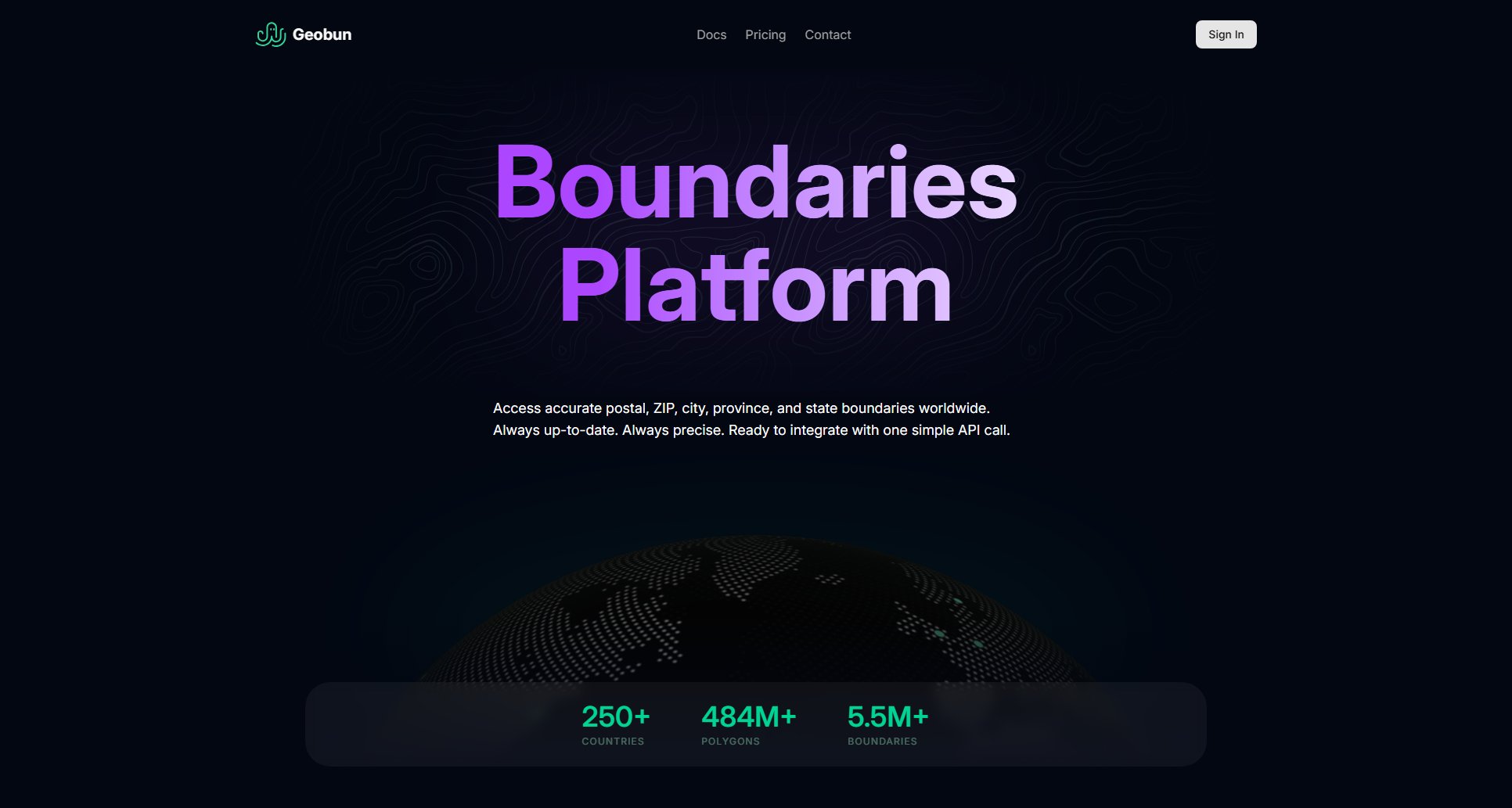
Geobun Official screenshot of the tool interface
What Can Geobun Do? Key Features
Global Coverage
Geobun provides boundary data for over 250 countries, ensuring you have access to postal, ZIP, city, province, and state boundaries no matter where your operations are located. This extensive coverage makes it ideal for businesses with a global footprint.
Always Up-to-Date
Boundary data is constantly evolving, and Geobun ensures you always have the latest information. The platform is regularly updated to reflect changes in administrative boundaries, postal codes, and other geographic data.
Simple API Integration
Integrating Geobun into your applications is effortless with a single API call. The API is designed for ease of use, allowing developers to quickly access and implement boundary data without complex setup or configuration.
High Precision
With over 484 million polygons and 5.5 million boundaries, Geobun offers unparalleled precision. This level of detail is crucial for applications requiring accurate geographic data, such as logistics, urban planning, and demographic analysis.
Scalable Solutions
Geobun is built to scale with your needs. Whether you're a small startup or a large enterprise, the platform can handle varying levels of demand, ensuring reliable performance even as your usage grows.
Best Geobun Use Cases & Applications
Logistics Optimization
Logistics companies can use Geobun to accurately define delivery zones, optimize routes, and ensure compliance with regional boundaries, reducing delivery times and operational costs.
Demographic Analysis
Researchers and marketers can leverage Geobun's precise boundary data to analyze demographic trends, plan campaigns, and make data-driven decisions based on geographic segmentation.
Urban Planning
Urban planners and government agencies can utilize Geobun to access up-to-date administrative boundaries, aiding in infrastructure development, zoning, and resource allocation.
How to Use Geobun: Step-by-Step Guide
Sign up for an account on the Geobun website to get your API key.
Review the API documentation to understand the available endpoints and data formats.
Make your first API call to retrieve boundary data for a specific region or postal code.
Integrate the returned data into your application, whether for mapping, analysis, or other location-based services.
Geobun Pros and Cons: Honest Review
Pros
Considerations
Is Geobun Worth It? FAQ & Reviews
Geobun supports postal, ZIP, city, province, and state boundaries for over 250 countries worldwide.
Geobun's boundary data is regularly updated to ensure accuracy and reflect the latest administrative changes.
Yes, Geobun offers a free plan with limited API calls and access to basic boundary data.
Yes, Geobun can be used for commercial purposes, but you may need to upgrade to a paid plan depending on your usage requirements.
Simply sign up for an account on the Geobun website, obtain your API key, and refer to the API documentation to make your first call.
