BigGeo
Advanced geospatial solutions for visualizing location-based insights
What is BigGeo? Complete Overview
BigGeo is revolutionizing the way businesses utilize geospatial data. Our innovative technology provides organizations with the tools to visualize, interact with, and fully leverage location-based insights at any scale. Whether you're in urban planning, logistics, environmental monitoring, or any industry that relies on spatial data, BigGeo offers solutions that enhance decision-making and operational efficiency. Our platform is designed for professionals and enterprises looking to harness the power of geospatial analytics with industry-leading speed and accuracy.
BigGeo Interface & Screenshots
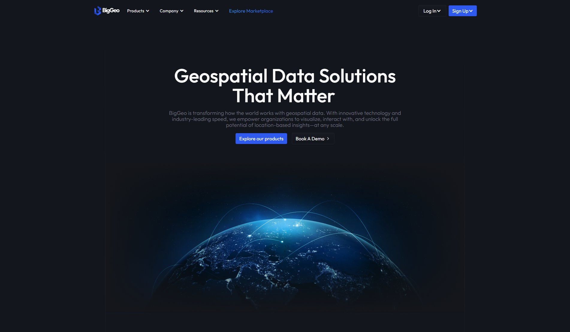
BigGeo Official screenshot of the tool interface
What Can BigGeo Do? Key Features
Geospatial Data Visualization
BigGeo provides powerful tools to visualize complex geospatial data in an intuitive and interactive manner. Our platform supports various data formats and allows users to create detailed maps, heatmaps, and 3D models, making it easier to interpret spatial information.
Real-Time Data Processing
With BigGeo, you can process and analyze geospatial data in real-time. This feature is crucial for applications like traffic monitoring, disaster response, and dynamic resource allocation, where timely insights are essential.
Scalable Solutions
BigGeo's platform is designed to handle data at any scale, from small projects to enterprise-level applications. Our scalable infrastructure ensures that you can grow your operations without worrying about performance bottlenecks.
Advanced Analytics
Leverage BigGeo's advanced analytics tools to uncover hidden patterns and trends in your geospatial data. Our platform includes machine learning algorithms and statistical models to provide deeper insights and predictive capabilities.
Customizable Dashboards
Create personalized dashboards tailored to your specific needs. BigGeo allows users to customize their interface, widgets, and reports, ensuring that the most relevant data is always at your fingertips.
Best BigGeo Use Cases & Applications
Urban Planning
City planners can use BigGeo to analyze population density, infrastructure, and land use patterns. This helps in making informed decisions about zoning, transportation, and public services.
Logistics Optimization
Businesses can leverage BigGeo to optimize delivery routes, manage fleet operations, and reduce transportation costs by analyzing spatial data in real-time.
Environmental Monitoring
Environmental agencies can track changes in land cover, monitor pollution levels, and assess the impact of climate change using BigGeo's advanced geospatial tools.
Disaster Response
Emergency responders can use BigGeo to visualize disaster-affected areas, plan evacuation routes, and coordinate relief efforts efficiently.
How to Use BigGeo: Step-by-Step Guide
Sign up for a BigGeo account on our website and choose a suitable plan based on your requirements.
Upload your geospatial data to the platform. BigGeo supports various file formats, including shapefiles, GeoJSON, and CSV.
Use the visualization tools to create maps and other spatial representations of your data. Customize the appearance and layers to suit your needs.
Apply analytics tools to analyze your data. Generate reports, run predictive models, or perform real-time monitoring as needed.
Share your insights with your team or stakeholders. BigGeo allows you to export your visualizations and reports in various formats or embed them in other applications.
BigGeo Pros and Cons: Honest Review
Pros
Considerations
Is BigGeo Worth It? FAQ & Reviews
BigGeo supports a wide range of geospatial data formats, including shapefiles, GeoJSON, CSV, and more. This ensures compatibility with most data sources and tools.
Yes, BigGeo offers real-time data processing and analytics capabilities, making it ideal for applications that require up-to-the-minute insights.
BigGeo offers a free demo that you can book on our website. This allows you to explore the platform's features before committing to a paid plan.
BigGeo is designed to handle data at any scale, from small projects to large enterprise applications. Our infrastructure ensures performance and reliability even with large datasets.
BigGeo is versatile and can benefit industries such as urban planning, logistics, environmental monitoring, disaster response, and more. Any industry that relies on spatial data can leverage our tools.
