OpalAI
Spatial AI transforming data into actionable insights
What is OpalAI? Complete Overview
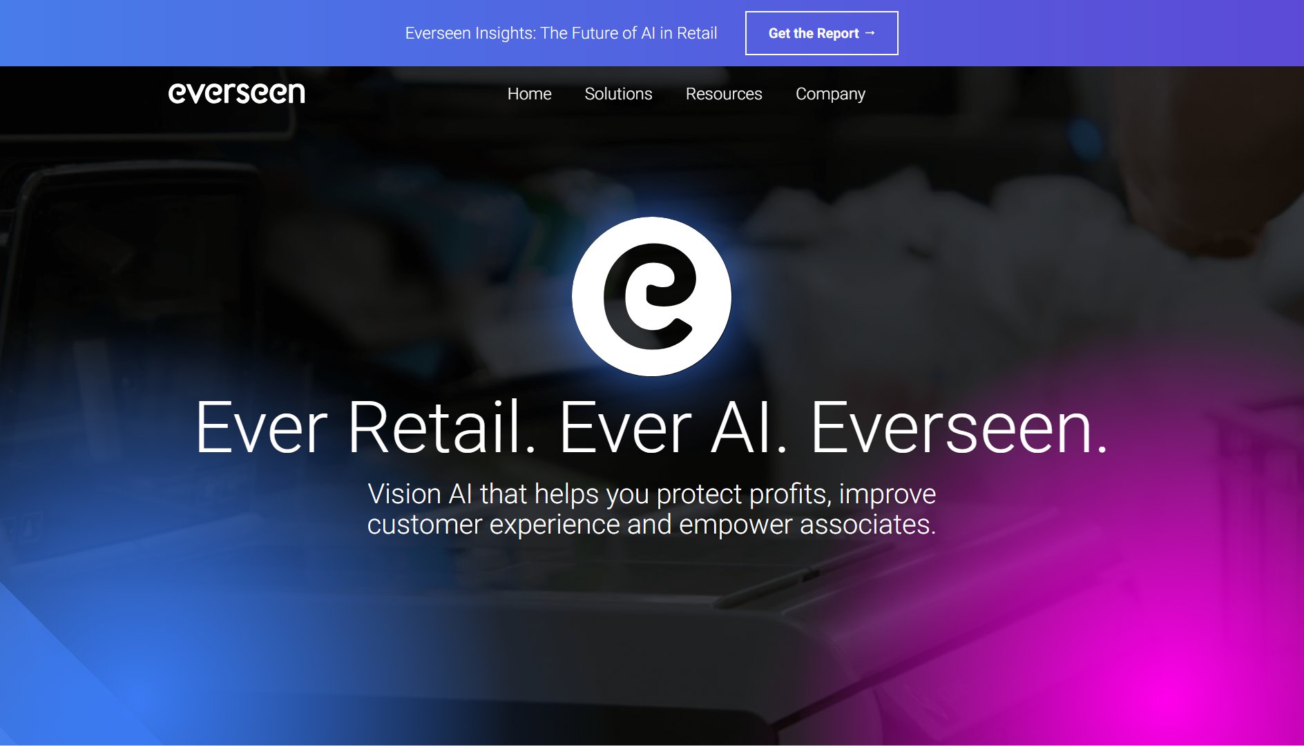
OpalAI is a cutting-edge Spatial AI platform that specializes in transforming spatial, visual, textual, and audio data into actionable insights for enterprises. The platform leverages advanced Vision Language Models (VLMs) and 3D deep learning technologies to accelerate decision-making processes across various industries. OpalAI serves multiple sectors including PropTech, InsurTech, Space Tech, and Transport Tech, helping organizations reduce processing time from hours to minutes. Their technology is backed by prestigious institutions like the National Science Foundation and has received significant funding from NASA for wildfire intelligence applications.
OpalAI Interface & Screenshots
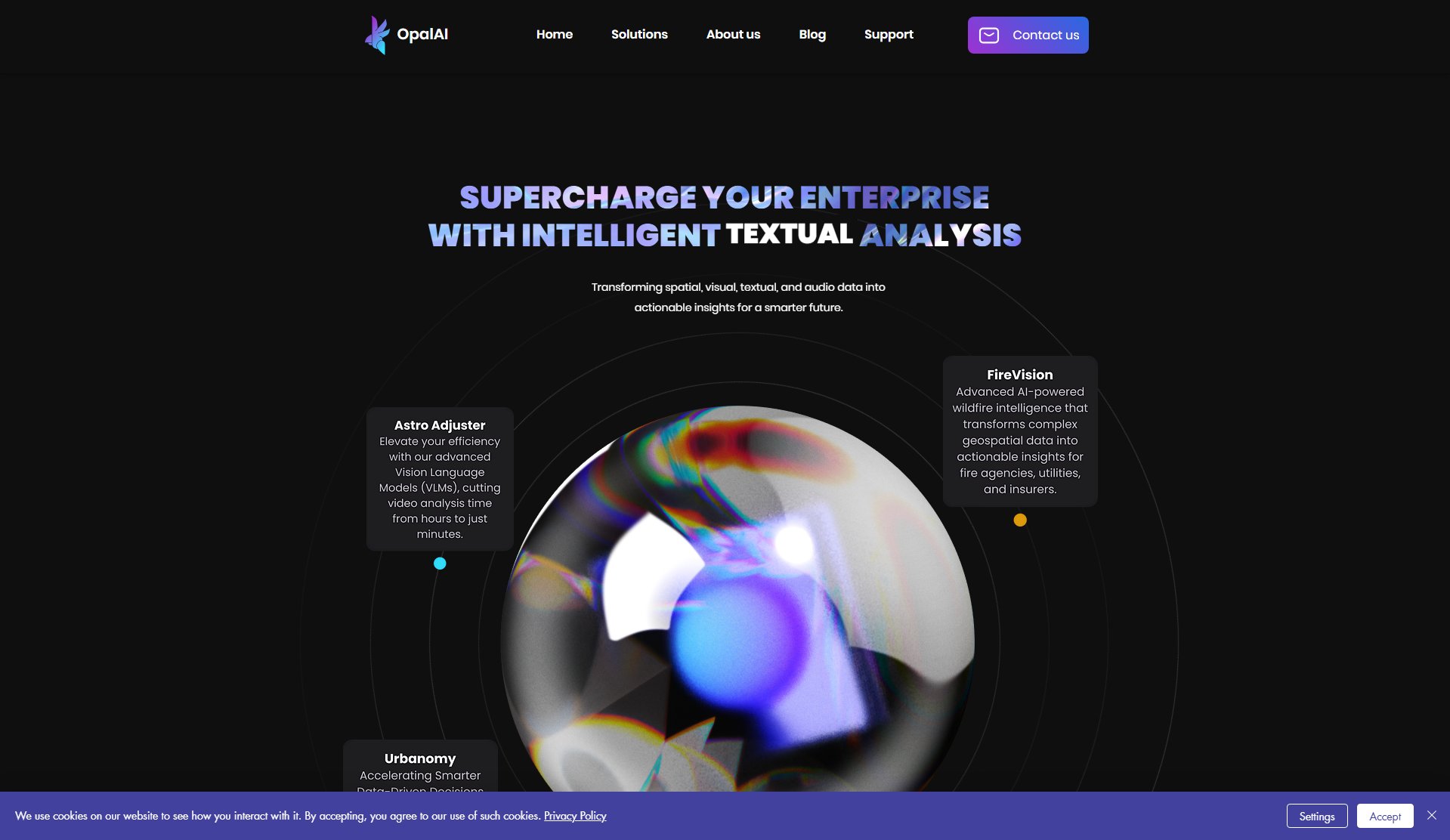
OpalAI Official screenshot of the tool interface
What Can OpalAI Do? Key Features
Astro Adjuster
OpalAI's advanced Vision Language Models dramatically reduce video analysis time from hours to just minutes, enabling rapid processing of visual data for various applications.
Urbanomy
Provides data-driven decision support for urban planning and city street management, helping municipalities optimize infrastructure and public spaces.
FireVision
AI-powered wildfire intelligence system that transforms complex geospatial data into actionable insights for fire agencies, utilities, and insurers.
Scan to BIM
Automatically generates detailed Building Information Models from point cloud scan data, revolutionizing architectural planning and construction documentation.
Scanto3D
Mobile app that instantly creates 2D and 3D CAD models in real time, ideal for property modeling and spatial documentation.
3D Scene Understanding
Advanced algorithms that interpret and analyze complex 3D environments for various applications from urban planning to disaster response.
Satellite Imagery Analysis
Specialized processing of satellite and SAR imagery for detecting vehicles, wildfires, and other critical spatial patterns.
Best OpalAI Use Cases & Applications
Wildfire Management
Fire agencies use FireVision to process geospatial data from satellites and drones, enabling faster detection and response to wildfires while assessing risk areas.
Property Documentation
Real estate professionals utilize ScanTo3D to quickly create detailed 3D models of properties from simple scans, reducing documentation time from weeks to days.
Urban Infrastructure Assessment
City planners employ Urbanomy to monitor road conditions, detect potholes, and evaluate sidewalk accessibility across entire municipalities.
Insurance Claims Processing
Insurance companies leverage OpalAI's video analysis to transform property damage recordings into detailed claim assessments with higher accuracy.
How to Use OpalAI: Step-by-Step Guide
Choose your OpalAI service based on your data type and analysis needs (e.g., FireVision for wildfire data, ScanTo3D for property modeling).
Upload your spatial data through the web platform or mobile app, supported formats include point clouds, video, satellite imagery, or LiDAR scans.
Select the specific analysis parameters or let OpalAI's AI automatically determine the optimal processing approach.
Review the AI-generated insights and models in the interactive dashboard, with options for manual adjustments.
Export the results in your preferred format (BIM models, CAD files, reports) or integrate directly with your existing systems.
OpalAI Pros and Cons: Honest Review
Pros
Considerations
Is OpalAI Worth It? FAQ & Reviews
OpalAI processes spatial, visual, textual, and audio data including point clouds, video, satellite imagery, LiDAR scans, and drone footage.
Through advanced Vision Language Models and 3D deep learning algorithms that automate complex analysis tasks that would traditionally require manual work.
PropTech, InsurTech, Space Tech, Transport Tech, and emergency services are primary beneficiaries, but any sector dealing with spatial data can benefit.
Yes, the ScanTo3D mobile app allows for instant 2D and 3D CAD model creation in real time using smartphone capabilities.
